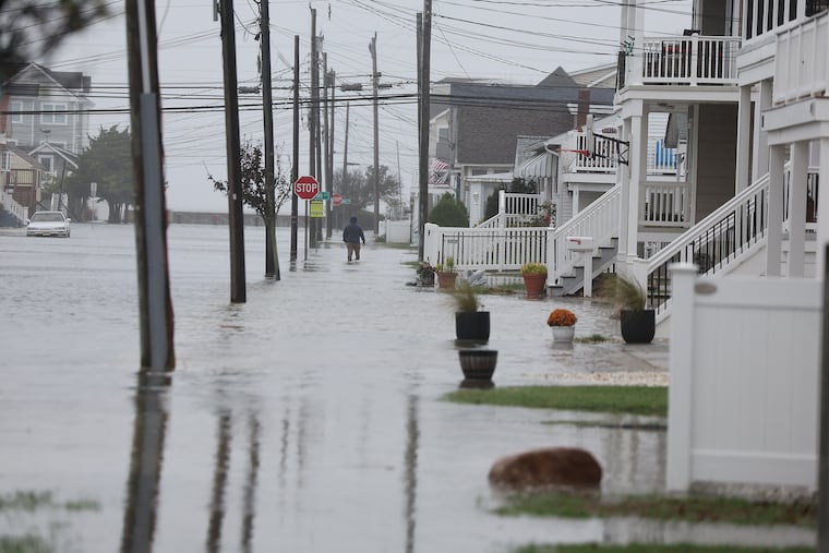
Coastal storm forecasted to impact Jersey beaches, bringing challenging conditions this week.
New Jersey’s coastal regions, still recovering from significant sand erosion caused by recent severe weather events, are facing new challenges this week as strong winds and a coastal storm are anticipated. Meteorologist Eric Hoeflich from the National Weather Service Office in Mount Holly reported that gale-force winds could begin developing off the shore as early as Tuesday afternoon, and these brisk onshore winds are expected to persist into Friday.
A significant coastal storm is predicted to hit the area late Wednesday into Thursday, bringing heavy rain to the immediate Philadelphia region, where drought conditions have recently worsened. Concurrently, Hurricane Melissa, which is projected to be upgraded to a catastrophic category, will be passing offshore, contributing to large waves along East Coast shorelines.
According to senior AccuWeather meteorologist Dave Dombek, the predicted conditions indicate that the coast will once again experience considerable impacts from the storm. However, unlike the previous nor’easter, which caused extensive beach erosion, this storm appears to be less severe. Hoeflich noted that the projected path of the storm is forecasted to be more inland, and the tidal influence should be reduced, with only minor flooding expected.
The National Weather Service has issued a gale watch for the coastline, anticipating onshore winds reaching up to 40 mph. This is largely due to high pressure systems located north of the region, which generates peripheral winds circulating toward the south. As a storm develops in the Southeast, it is likely to strengthen winds along the coast. Meanwhile, Melissa will affect ocean conditions as it moves northward along the U.S. coast.
In terms of rainfall, computer models suggest that the incoming storm might bring between 1 to 2 inches, with localized areas potentially receiving up to 4 inches, raising concerns about urban flooding in Philadelphia and surrounding areas. This is particularly critical as a majority of the region is currently classified as facing moderate drought conditions. Data from the U.S. Drought Monitor indicates that rainfall levels over the past month have been about one-third of normal in Philadelphia and neighboring counties, while South Jersey experiences similarly low precipitation figures.
Despite the rainy forecast midweek, Friday is expected to bring drier conditions, with temperatures dipping into the low to mid-50s, offering a favorable environment for trick-or-treaters as Halloween approaches. As weather patterns continue to evolve, updates will be provided to keep residents informed.
Media News Source


