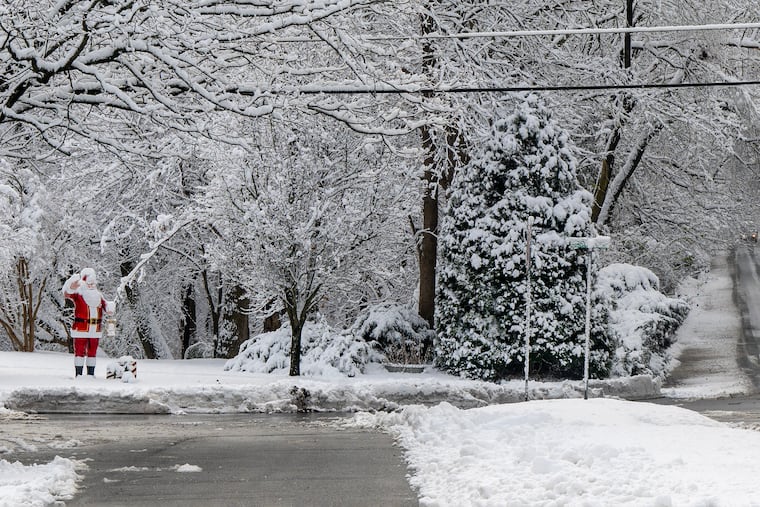
Weekend snowstorm creates icy conditions for commuters in Philadelphia on Monday.
A significant snowstorm recently swept through the Philadelphia region, marking the first major snowfall of the season on Sunday. In the aftermath of this winter weather, residents now face a new set of challenges as temperatures are expected to plummet overnight.
Sunday afternoon temperatures hovered in the upper 20s, but conditions are set to change dramatically by Monday morning. Meteorologists at the National Weather Service predict a strong influx of Arctic air, which will cause temperatures to dip into the mid-teens. As this cold front descends, the potential for icy road conditions increases, raising concerns for the morning commute.
In addition to the drop in temperatures, wind speeds are forecasted to escalate between 10 to 20 miles per hour, with gusts reaching as high as 35 miles per hour. These conditions may exacerbate the dangers on the roads. According to meteorologists, any existing slush or melted snow could quickly freeze if not properly treated, creating hazardous driving conditions.
The snowstorm that impacted the region resulted in varied snowfall accumulation. Philadelphia International Airport reported an official total of 4.2 inches, while some suburban areas experienced significantly higher totals, with reports indicating snow measurements as high as 7 to 8 inches. As crews work to clear roads and sidewalks, cold winds are likely to move new snow onto treated surfaces, complicating cleanup efforts.
Looking ahead, Monday afternoon temperatures are expected to rise but will still remain below freezing, likely in the mid to high 20s. Limited melting of snow and the anticipated drop in temperatures overnight could lead to continued icy conditions for commuters on Tuesday morning, creating the possibility of black ice where snow melt has occurred.
On a more positive note, temperatures are predicted to rise on Wednesday, which should facilitate the melting of lingering ice and snow. However, changing weather conditions later in the week could present new challenges. A new front may bring rain on Thursday night into Friday morning, creating concerns about reduced visibility due to fog—a significant hazard for early morning commuters as the ground remains cold in the wake of the recent Arctic air mass.
As the region navigates these winter weather challenges, residents are advised to remain cautious and prepared for changing conditions. Overall, the forecast signals a complex interplay of winter’s cold embrace and the potential for disruptive weather patterns in the days ahead.


