
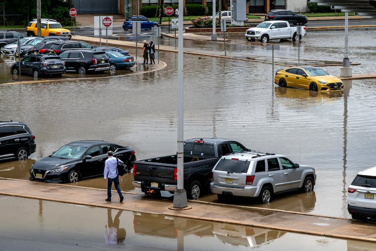
Rain is returning to the Philadelphia area, and it could be beneficial in the near future.
As the Philadelphia region transitions from a dry spell, forecasts indicate a return of precipitation with expected rain showers and possible thunderstorms that may occur at both the beginning and end of the week. This weather pattern brings a welcome relief, as the region recently completed its first seven-day stretch devoid of measurable rainfall in two months.
Heavy rains were anticipated to begin Sunday evening, concluding a relatively dry period for the area. Meteorologists predict further showers to follow on Monday and again later in the week. Despite these weather events, officials stress that the impending rain will not reach the levels of destruction experienced in certain Midwest areas recently. According to Brian Hurley, a senior branch forecaster at the National Weather Prediction Center, the risk of significant flooding in Philadelphia from Sunday into Monday is categorized as “marginal,” according to warnings issued by Sarah Johnson, a meteorologist from the National Weather Service’s Mount Holly office.
In light of the substantial rain that has fallen since mid-June, many homeowners may welcome additional precipitation. Data from the Middle Atlantic River Forecast Center indicates that while most areas in the region have experienced above-normal rainfall over the past 60 days, Montgomery County stands as a notable exception, recording precipitation levels around the normal range. It is important to note that, prior to the recent rains, Philadelphia had endured a concerning 16 consecutive months of below-average precipitation.
While current conditions have alleviated some drought effects, state-imposed drought warnings are still in place for parts of New Jersey and Chester County. Residents in these areas are advised to limit water usage. Hurley noted that while progress has been made in addressing drought conditions, many regions remain classified as “abnormally dry.”
This summer has also seen a notable increase in thunderstorms, with the National Weather Service documenting 19 days of thunder at Philadelphia International Airport, surpassing the seasonal average of 15 days for the period spanning from June to August. The month of August has particularly been characterized by high temperatures, with the airport recording temperatures at or above 90°F on 12 of the first 15 days.
As the Philadelphia region enjoys the warmth and rain, it is situated on the western edge of the Bermuda High, a weather pattern that influences local climate conditions. This positioning allows for increased chances of rain as fronts and disturbances interact with the warm air.
Looking ahead, meteorologists predict that the frequency of convective thunderstorms may diminish as September approaches and days grow shorter, making it harder for such storms to develop. While tropical connections typically bring additional rainfall during this time, the anticipated strong El Niño, which affects atmospheric conditions, may limit these occurrences in the weeks to come.
As of now, the Atlantic Basin remains devoid of hurricane activity, a stark contrast to the Pacific Ocean. The season has seen Hurricane Lala, a significant storm that has impacted Hawaii, but no Atlantic hurricanes have yet developed. In historical context, remnants of tropical storms have previously provided substantial rainfall to the Philadelphia area. However, residents remain vigilant, recalling the impacts of past storms like Hurricane Ida in 2021. The evolving weather patterns will continue to be monitored as the region navigates through the remainder of the summer.
Media News Source.