
Strongest El Niño in a century could have significant impacts on global weather patterns and climate conditions.
A recent update from the European Centre for Medium-Range Weather Forecasts (ECMWF) indicates a heightened likelihood of a significant climate event known as a super El Niño developing in the coming months. This forecast reinforces earlier predictions made in the previous month and suggests global weather patterns may soon experience substantial shifts.
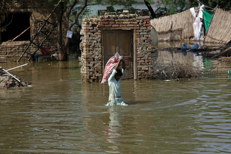
Traditionally, an El Niño event is characterized by the warming of ocean waters in the equatorial Pacific, which affects weather conditions across different regions—resulting in droughts, floods, and various weather extremes. However, during a super El Niño, the sea surface temperatures rise significantly, often exceeding 3.6 degrees Fahrenheit above average. Such events, occurring roughly every 10 to 15 years, can have particularly pronounced and widespread impacts, usually peaking between December and January.
The potential ramifications of this year’s predicted supercharged El Niño are extensive. Regions in the Western United States, parts of Africa, Europe, and India may see hotter-than-average summer temperatures. Additionally, tropical areas, including the Caribbean and Indonesia, could face severe drought and extreme heat, while the Pacific may see an uptick in tropical cyclones.
Critically, this super El Niño could drive global temperatures to unprecedented levels, potentially impacting agricultural sectors worldwide due to changing weather patterns. Experts anticipate that the intensity of this year’s event may even surpass the record set in December 2015, when temperatures in the central equatorial Pacific surged above average by over 5 degrees Fahrenheit.
Current observational data shows signs indicating a robust super El Niño could be on the horizon, including the emergence of a rare triplet-cyclone pattern in the Pacific. Despite this, uncertainties remain regarding the exact strength of this climate phenomenon, as each El Niño manifests uniquely, particularly in the context of our warming climate.
As we approach the latter part of the year, the ECMWF has outlined several anticipated weather impacts through October. These include reduced hurricane activity in the Atlantic, possible droughts in northern India, and above-average temperatures across the Western United States. Additionally, there may be droughts in parts of Central Africa and Australia, while regions like Peru and Ecuador could experience significant flooding.
The implications of a super El Niño extend far beyond immediate weather trends; they offer a window into broader climatic shifts that will affect global temperature averages, particularly during 2027, a year projected to set new records. As the planet continues to warm, the systemic effects of such climate patterns serve as essential indicators for future environmental planning and preparedness.
For further details on this developing situation, monitoring resources and studies will provide crucial insights into the unfolding impacts of this anticipated weather pattern.


